Wfs
TatukGIS Viewer v.2.9.0.5307
TatukGIS Viewer opens most GIS/CAD vector, raster image, and grid file types, including the aerial imagery and vector street map data provided by the leading vendors, most ArcView, ArcExplorer, and MapInfo projects,
Quantum GIS v.1.8.0
Cross-platform and user friendly Open Source Geographic Information System (GIS). Quantum GIS (QGIS) is a user friendly Open Source Geographic Information System (GIS) that runs on Linux, Unix, Mac OSX, and Windows. QGIS supports vector, raster,
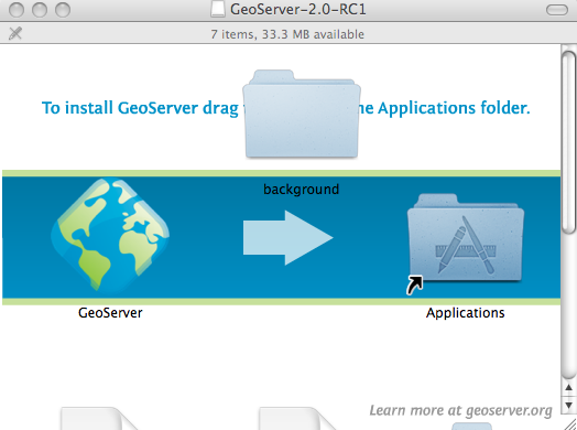
GeoServer for Mac v.2.2.3
GeoServer for Mac is an Open Source server that will allow you to connect your information to the Geospatial Web.
GeoServer for Linux v.2.2.3
GeoServer for Linux is an Open Source server that will allow you to connect your information to the Geospatial Web.

UDig for Linux v.1.3.1
uDig is an open source (LGPL) desktop application framework, built with Eclipse Rich Client (RCP) technology.
UDig for Mac OS X v.1.3.1
uDig is an open source (LGPL) desktop application framework, built with Eclipse Rich Client (RCP) technology.

UDig x64 v.1.3.1
uDig x64 is an open source (LGPL) desktop application framework, built with Eclipse Rich Client (RCP) technology.
EXows v.1.0
Exows extends the capabilities of the OWS (OGC Web Services).
Free Feature Server v.1.0
FreeFS is an implementation of the OpenGIS Consortium's Web Feature Server v0.